
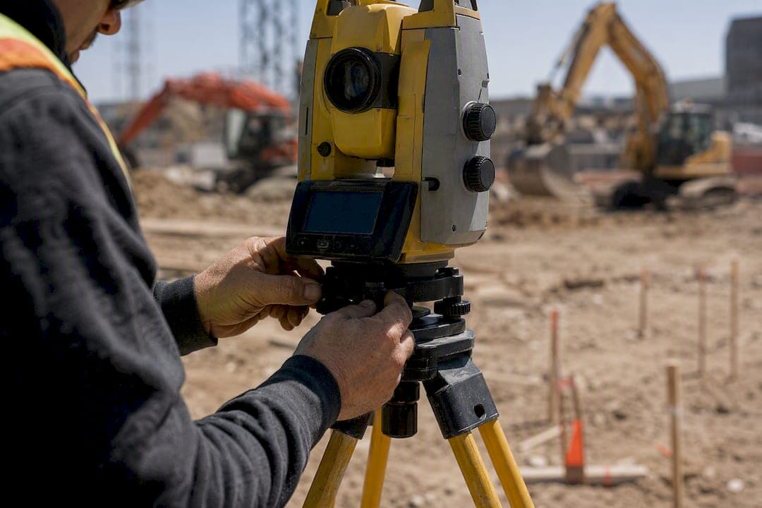
Construction surveying is the process of transferring design measurements from drawings onto the physical job site, establishing horizontal and vertical control so every footing, slab, and utility line lands exactly where the plans say it should. It drives two outcomes above all others: precise location and elevation control during construction, and verified as-built records once work is complete. Get it wrong and you get rework, change orders, and schedule slippage.
- Staking and setting-out translate plans into physical reference points
- Control networks anchor every measurement to a fixed, verifiable position
- As-built verification confirms what was actually built matches what was designed
Key Takeaways
Construction surveying prevents costly rework by establishing verified horizontal and vertical control at every phase, from initial layout through final as-built documentation.
| Point | Details |
|---|---|
| Match survey type to phase | Use topographic surveys early, stakeout continuously, and as-builts at closeout. |
| Follow the control sequence | Establish benchmarks before layout, and re-verify control after any site disturbance. |
| Choose instruments by site condition | RTK GNSS suits open sites; total stations and scanners handle obstructed or high-precision work. |
| Respect tolerance ranges | Structural work needs roughly 0.01 to 0.03 feet; earthwork tolerates 0.03 to 0.1 feet. |
| Coordinate equipment timing | Sostruckforsale helps contractors source and schedule equipment deliveries so machinery arrives after control and stakeout are locked in. |
Table of Contents
- What Is Construction Surveying and Why Projects Need It
- Types of Construction Surveys and When to Use Each
- The Construction Survey Workflow From Recon to Handoff
- Instruments That Do the Measuring: GNSS, Total Stations, and Scanners
- How Tight Do Tolerances Need to Be?
- Coordinate Systems, Control Points, and the Errors That Sink Projects
- Best Practices That Prevent Costly Layout Busts
- Who Actually Does the Surveying on a Job Site?
- What Belongs in a Complete As-Built Deliverable Package
- Coordinating Survey Work With Equipment Deliveries
- Frequently Asked Questions
- Sources
What Is Construction Surveying and Why Projects Need It
At its core, construction surveying provides dimensional control for every stage of a build, from the first grading cut to the final inspection. It's the discipline that keeps a foundation square, a road grade consistent, and a utility trench at the correct invert elevation. Skip it or rush it, and small errors compound into expensive problems: a wall poured six inches off line, a drainage pipe with the wrong slope, or a building footprint that clips a setback line.
The practical payoff is straightforward. Accurate control and layout work upfront costs far less than tearing out concrete or relocating utilities later. Project managers who treat surveying as a scheduling afterthought instead of a coordination priority tend to pay for that decision in change orders.
Types of Construction Surveys and When to Use Each
Different phases call for different survey types, and knowing which one you need keeps crews from duplicating work or missing a critical check.
- Topographic and existing-conditions surveys map the site before design finalizes, capturing terrain, existing structures, and utilities. Deliverables typically include contour maps and point files that feed directly into design software.
- Design-plan verification happens before mobilization, when surveyors cross-check design coordinates against actual site conditions to catch conflicts early.
- Layout and stakeout surveys run continuously through construction, marking building corners, grade stakes, and utility alignments as each phase begins.
- As-built surveys close out the project, documenting exactly what was constructed for owners, maintenance crews, and future renovation teams.
Topographic work and as-builts bookend the project. Layout and stakeout happen in the middle, repeated at nearly every trade transition.
The Construction Survey Workflow From Recon to Handoff
A survey program follows a predictable sequence, and skipping a step almost always shows up later as a dispute or a rework order.
- Reconnaissance and utility locating. Crews walk the site, locate existing utilities, and flag conflicts before any control point goes in the ground.
- Control establishment. Surveyors set benchmarks and control monuments tied to a known datum, forming the backbone every later measurement references.
- Layout and staking. Design coordinates get translated to physical stakes and marks, sequenced to match the construction schedule, footings first, then walls, then finish grade.
- Ongoing verification. Crews re-check control points throughout the job, especially after earthmoving or if a monument looks disturbed.
- As-built collection and handover. Final measurements get recorded and delivered to the owner, closing the loop between design intent and built reality.
Each phase depends on the one before it. A control point set incorrectly in step two propagates errors through every stake that follows.
Instruments That Do the Measuring: GNSS, Total Stations, and Scanners
Choosing the right instrument depends on site conditions, required precision, and how fast you need results.
- RTK GNSS receivers deliver fast, centimeter-level positioning across open sites with clear satellite visibility, but they lose reliability under dense tree cover, near tall structures, or without a stable base station and correction signal.
- Total stations, especially robotic models that let one operator run the whole setup, handle obstructed sites and tight-tolerance structural work where GNSS signal drops out.
- Laser scanners and drones capture large areas quickly for as-built documentation, generating dense point clouds far faster than manual point-by-point collection.
- Laser and rotating levels remain the workhorse for grade control on earthwork and concrete flatwork, offering simple, reliable elevation checks without the complexity of a full robotic setup.
- Field data collectors and survey software tie every instrument's output into a common coordinate system, so a GNSS shot and a total station shot end up in the same project grid.
Modern crews often combine GNSS, robotic total stations, and laser scanning on the same job, using terrestrial instruments wherever satellite visibility can't be trusted.
Pro Tip: Never rely on a single instrument type for a critical layout task. Check a total station shot against a GNSS reading, or vice versa, before you commit a foundation line to concrete.
How Tight Do Tolerances Need to Be?
Tolerance requirements vary sharply depending on what's being built, and that variance should drive your equipment choice.
Structural and critical dimensional work, column lines, foundation corners, anchor bolt patterns, typically demands accuracy in the range of 0.01 to 0.03 feet, or roughly 3 to 10 millimeters. Earthwork and grading tolerances run looser, generally 0.03 to 0.1 feet (10 to 30 millimeters), depending on the finish grade required. Utility work adds another layer: invert elevations for gravity-fed pipe need tight vertical control to maintain design slope, even when horizontal tolerance is more forgiving.
These numbers aren't arbitrary. They dictate whether a laser level suffices or a robotic total station is required, and tighter tolerances always mean more setup time and higher survey cost per point.
Coordinate Systems, Control Points, and the Errors That Sink Projects
Most projects work in a localized project grid rather than a raw geodetic coordinate system, because a flat, simplified grid is easier for field crews to use than true earth curvature calculations. That grid still has to tie back to permanent benchmarks and monuments that anchor the entire control network.
- Confirm which coordinate system and datum the plans reference before setting a single control point
- Protect permanent monuments physically; a disturbed benchmark invalidates every measurement taken from it
- Run a resection or repeated setup check whenever you're uncertain about an existing control point
- Watch for incorrect geodetic-to-project-grid conversions, a well-documented source of catastrophic layout errors on otherwise well-run jobs
A wrong datum assumption can shift an entire building footprint by feet, not inches, and it often isn't caught until foundation inspection.
Best Practices That Prevent Costly Layout Busts
Most layout disasters trace back to a handful of preventable habits, not equipment failure.
- Verify base station position and rod height at every single setup, not just the first one of the day
- Document every control point, stake description, and instrument used, and back up digital survey files off the device that collected them
- Label stakes clearly and brief crews on what each mark means before they start cutting or pouring
- Never mix imperial and metric units on the same set of plans or field notes without a clear, flagged conversion
- Never accept an unverified coordinate transform from a previous phase without an independent check
Pro Tip: Keep a physical or digital measurement log signed off by a supervisor for every critical layout task. Accurate recording and verification catches small errors before they become disputes over concrete that's already cured.
Bring in a licensed land surveyor rather than a technician-led crew whenever plans or as-builts require a signed and sealed certification, or when the layout touches property boundaries.
Who Actually Does the Surveying on a Job Site?
Roles vary by task complexity and legal requirement. A licensed land surveyor holds legal authority to sign and seal boundary surveys, plats, and certain as-built documents. A construction survey technician typically handles day-to-day stakeout and control work under a surveyor's oversight. Many general contractors run in-house layout crews for routine staking, reserving licensed surveyors for boundary work, final as-builts, or anything requiring legal certification.
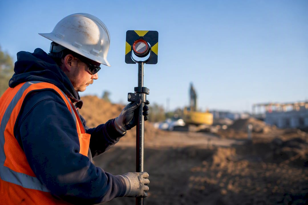
Clients sometimes bring in an independent third-party surveyor specifically to verify a contractor's layout, adding an extra check on high-value or high-risk work. Career paths into the field generally start with technician roles and progress toward licensure through experience and exams.
What Belongs in a Complete As-Built Deliverable Package
Request these items explicitly in your contract, not as an afterthought once the job's finished:
- As-built drawings in CAD format compatible with your design software
- Point cloud data in standard formats like LAS or E57 for scanner-based captures
- CSV or raw coordinate exports for import into other project tools
- Metadata specifying coordinate system, units, datum, equipment used, and control point descriptions
Without that metadata, a beautifully detailed as-built dataset becomes nearly useless the next time someone needs to build from it.
Coordinating Survey Work With Equipment Deliveries
Survey control has to be locked in before heavy equipment starts moving dirt, not after. A grader or excavator that rolls onto a job before control points are set risks disturbing benchmarks that took hours to establish.
- Schedule control establishment and initial stakeout before major equipment mobilization
- Physically flag or barricade control monuments so operators and haul trucks avoid them
- Confirm stake locations are still intact before each new equipment phase begins
- Clear and maintain access routes so survey crews can re-shoot points without dodging active machinery
This kind of proactive coordination between survey teams and equipment schedules is one of the cheapest risk reductions available on any job site.
A Field Lesson on Verifying Control
Never trust a control point you didn't personally check that day. On one job, a disturbed benchmark near an access road went unnoticed until a pour was already scheduled. Verify first.
Timing Equipment Purchases Around Your Survey Schedule
Getting excavators, graders, or compact track loaders onto a site at the right moment matters as much as getting the survey right. Sostruckforsale lets contractors and project managers source specific equipment types, filtered by category and location, well ahead of mobilization, so machinery shows up on schedule instead of forcing crews to work around a late delivery or a rented substitute that doesn't match the job's spec. That kind of lead time gives survey crews a clear window to finish control and stakeout before heavy machinery starts moving earth.
If you're planning a phase that depends on both a completed survey and specific equipment on-site, browse heavy equipment listings filtered by category and location to line up delivery timing before mobilization. And if a piece of equipment is changing hands as part of that process, a clear ownership transfer checklist keeps the paperwork as tight as the survey control.
Frequently Asked Questions
What is construction surveying in simple terms? It's the process of marking a construction site with the exact measurements from design plans, establishing where structures, grades, and utilities should sit before and during building.
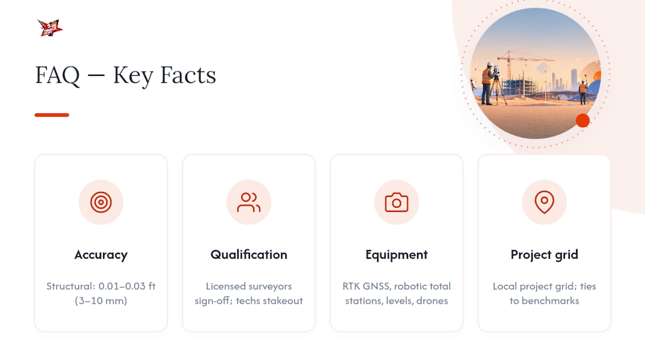
How accurate does construction surveying need to be? Structural elements typically require accuracy within 0.01 to 0.03 feet (3 to 10 millimeters), while earthwork tolerances run looser, around 0.03 to 0.1 feet, depending on the finish required.
Who is qualified to perform construction surveying? Licensed land surveyors handle boundary work and sign-off documents, while technicians and in-house crews typically manage routine stakeout under a surveyor's supervision.
What equipment does a construction survey typically use? Most crews rely on RTK GNSS receivers, robotic total stations, laser or rotating levels for grade, and increasingly laser scanners or drones for fast as-built capture on large sites.
Why do surveyors use a project coordinate system instead of true geodetic coordinates? A localized project grid is simpler for field crews to work with, and it avoids errors introduced by earth curvature calculations, though it still must tie back to verified benchmarks.
Sources
For workflow and practitioner context, see Procore's overview. For equipment and accuracy specifics, review the Bench Mark USA guide. For coordinate and control background, consult Wikipedia's construction surveying entry and Penn State's careers page.
- Construction Surveying: Plotting the Foundation of Every Build | Procore
- Construction site surveying: Methods & equipment - Bench Mark USA
- How to take measurement at site - QSCEngineer